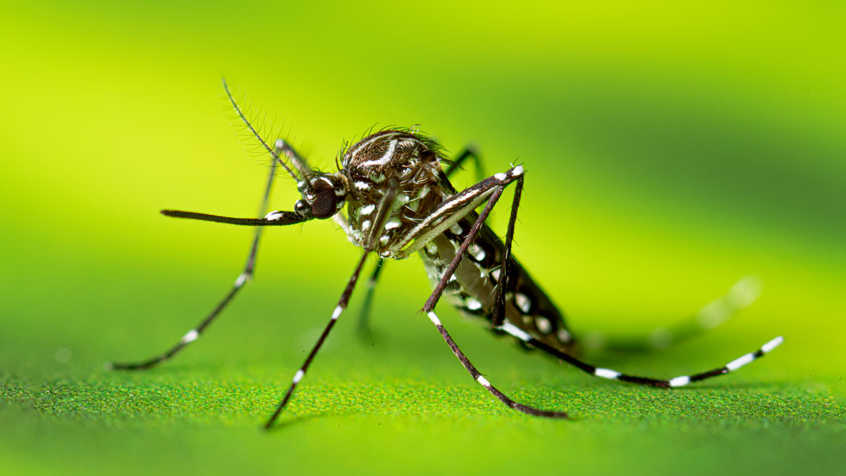
Lee County Mosquito Control District (LCMCD) serves approximately 860,000 residents across 804 square miles (208,235 ha) of coastal southwest Florida, including extensive salt marsh, mangrove, and freshwater habitats that support productive populations of Aedes taeniorhynchus (Wiedemann), Culex nigripalpus Theobald, Anopheles spp., and other nuisance/medically important mosquitoes. Accurate mapping of mosquito larval habitats is essential for cost-effective deployment of control measures, particularly in coastal environments where tidal flooding and rainfall interact to create prolific habitat conditions. Traditional ground surveys and legacy elevation datasets often lack the spatial resolution needed to distinguish subtle topographic features that determine flooding extent and duration or stay current with landscape changes following major storm events, leading to over-treatment of nonproductive areas and inefficient resource allocation.
In addition to very dynamic hydrological patterns, Lee County has approximately 56,000 acres of salt marshes that are inaccessible by ground, which is why helicopters are needed to help the District identify areas with mosquito habitat. Remote sensing technologies, including satellite imagery and aerial photography, have been used to identify potential mosquito habitats at regional scales, but these methods typically provide limited vertical accuracy and may not resolve small-scale topographic variation critical for predicting tidal and rainfall inundation. Light Detection and Ranging (LiDAR) technology, a technology used by NASA to measure the lunar surface during the Apollo 15 mission, can be used to emit laser pulses to measure the Earth’s surface beneath vegetation, producing detailed digital elevation models that reveal where water is likely to collect following rainfall or tidal flooding.
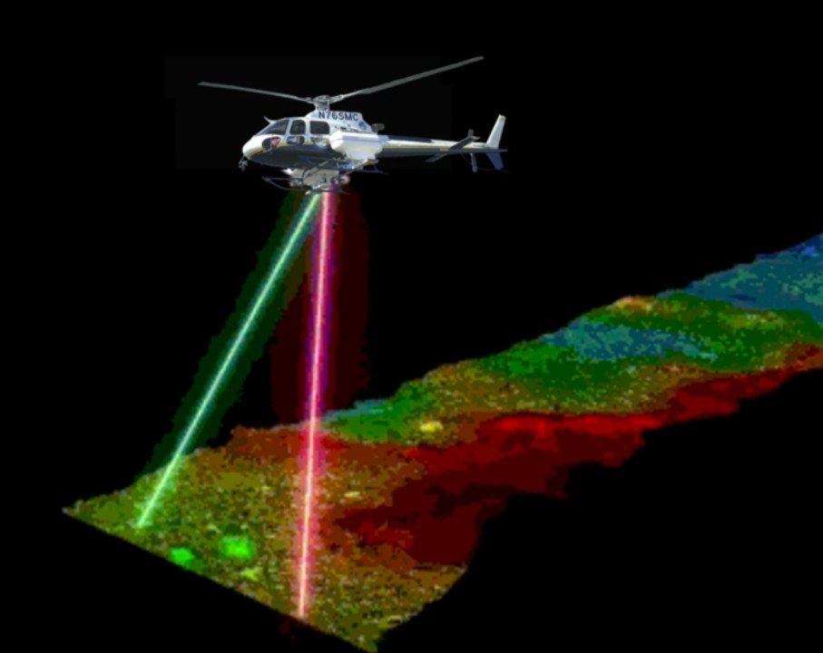
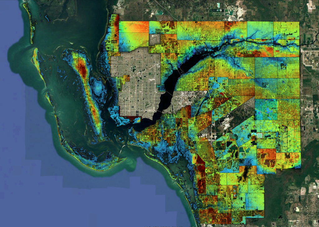
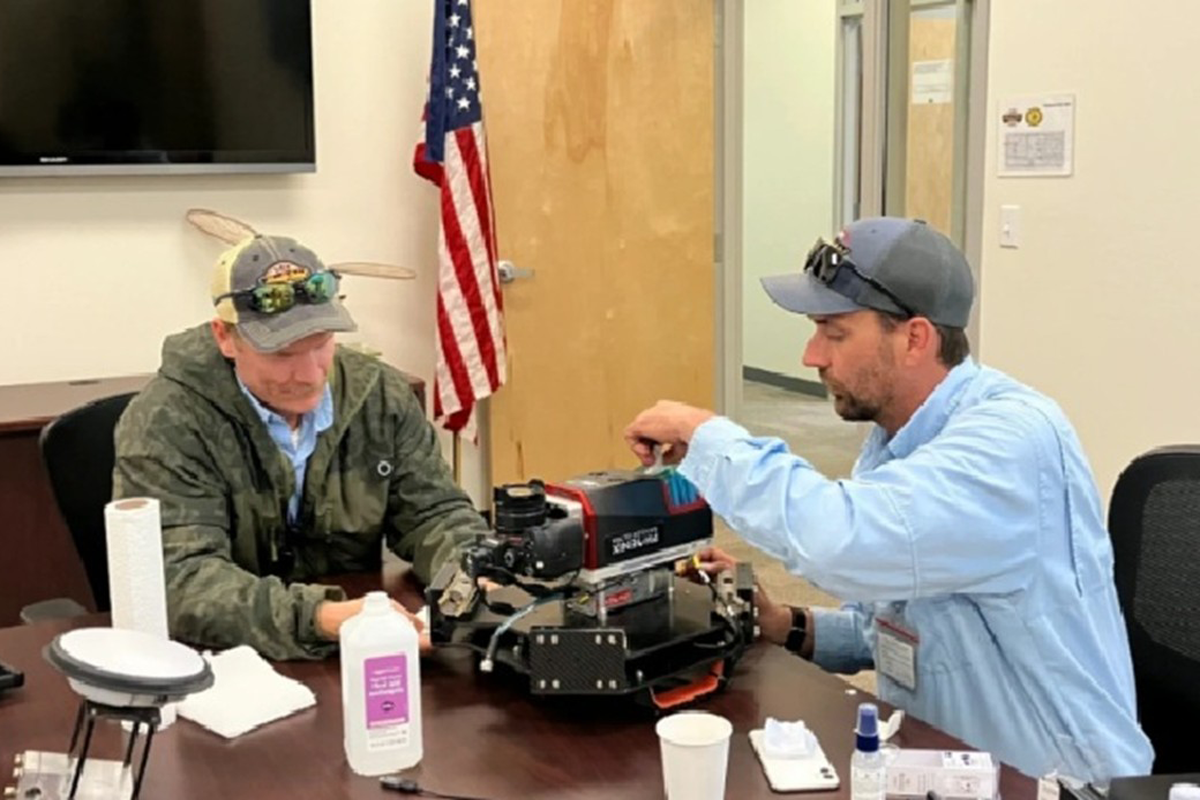
In early 2026, LCMCD implemented helicopter-mounted LiDAR technology to create high-resolution elevation models for refining larval mosquito habitat treatment boundaries in coastal and inland environments. Using a Ranger ULTRA laser scanning system equipped with an IMU-30 inertial measurement unit mounted on an Airbus H125 helicopter, the district mapped approximately 184,567 ha across Lee County during the 2026 dry season (January 13 to May 1), achieving vertical accuracy of 2.0 cm and horizontal point densities exceeding 30 points per square m. The LiDAR-derived elevation data has enabled precise delineation of tidal and rainfall-driven flooding zones that have reduced treatment areas and associated larvicide costs while maintaining operational effectiveness. This work was published in the Journal of the American Mosquito Control Association in June 2026 (Operational Application of Helicopter-Mounted LiDAR for Larval Habitat Mapping and Treatment Refinement in Lee County, Florida), representing the first large-scale operational implementation of LiDAR within a mosquito control program.
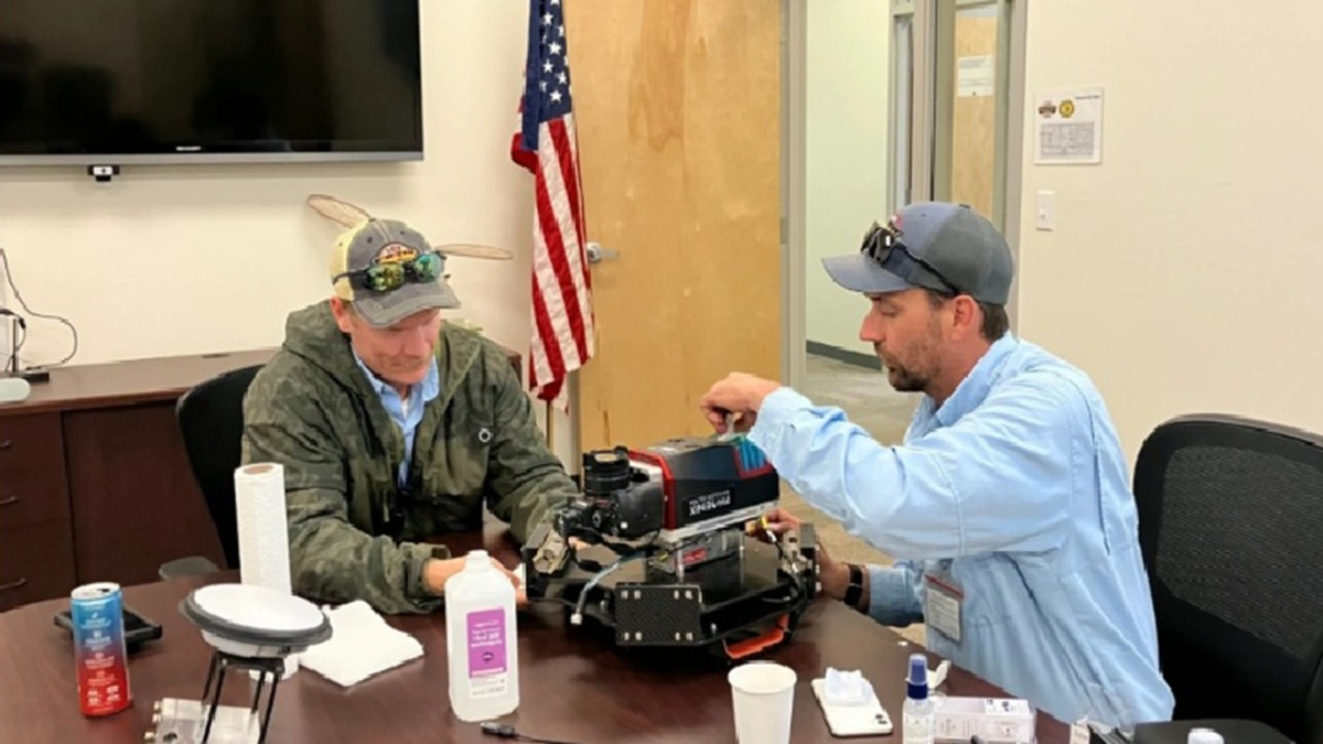
The publication describes the equipment specifications, flight parameters, data processing methodology, cost–benefit outcomes, and lessons learned from large-scale implementation of LiDAR for integrated mosquito management. To date, the LiDAR data has been used to distinguish productive mosquito larvae habitat from non-productive areas, which enables the District to reduce unnecessary larvicide applications and apply treatments only where they are needed. Beautiful Island, an island located in the Caloosahatchee River north of Fort Myers in Lee County, has been a treatment area for many years because mosquito control personnel assumed the entire island had mosquito larvae. However, a recent LiDAR survey revealed that only about half of the island required treatment during normally undetected elevational changes, allowing for the reduction of chemical usage by 55% and that one polygon (an area scanned by LiDAR) alone has saved $15,000 a year in chemicals while still maintaining control of the mosquitoes in the area. A follow-on publication is currently being drafted by LCMCD, which will provide greater details on how larval habitat mapping has been improved across Lee County.
LCMCD is the first mosquito control program in the U.S. to operationally use helicopter‑mounted LiDAR for precise, environmentally responsible mosquito habitat mapping and treatment (Why LiDAR is Important for Mosquito Control). Using this mapping system will increase inspector efficiency by enabling faster coverage of larger areas, and support highly precise, targeted treatments that reduce non‑target exposure and overall environmental impact while maintaining or enhancing mosquito control effectiveness. We hope the operational LiDAR framework developed could serve as a model for other mosquito control agencies, and stand by to support other programs as they explore the use of LiDAR technologies.
Contributing Author
Aaron Lloyd, James Dunford, and Jenifer McBride
Lee County Mosquito Control District
Photos provided by Lee County Mosquito Control District